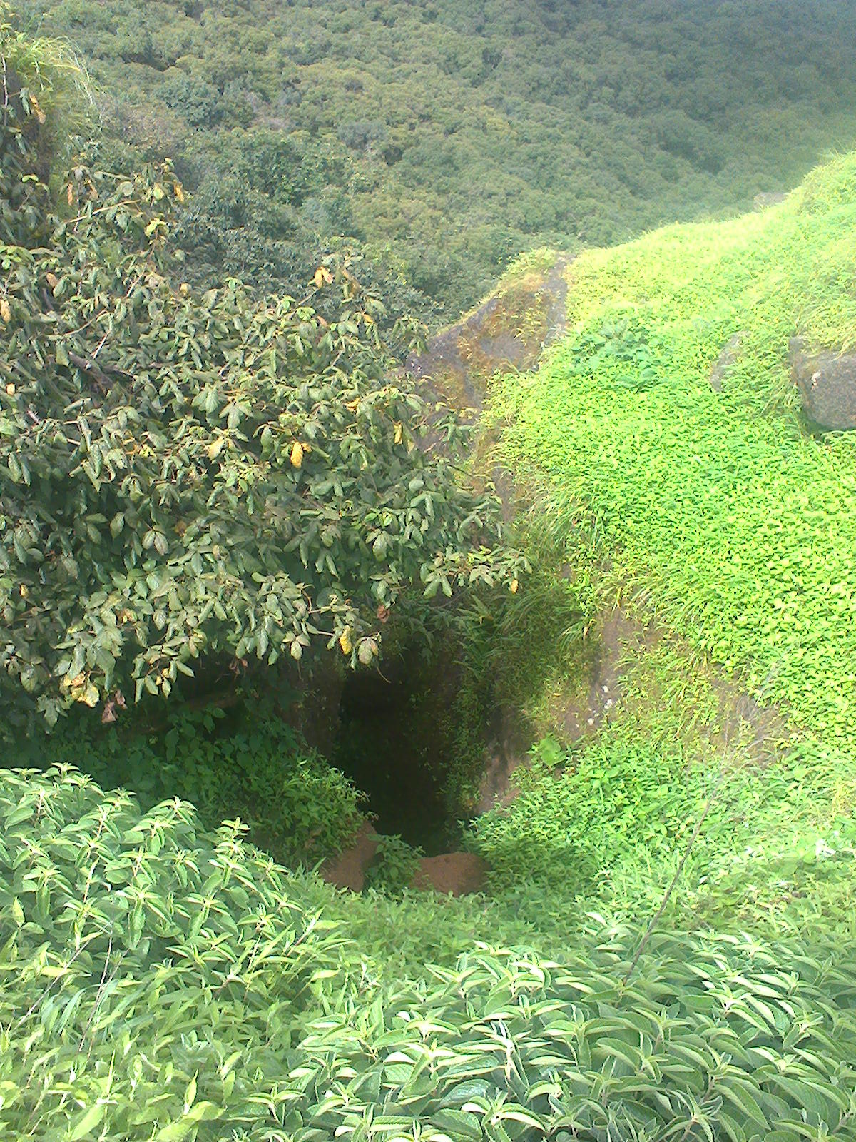
Daulatmangal fort is believe to be built during Yadav dynasty. Area of the fort is not as large as that of other sahyadri forts. All the fortification on the fort has been destroyed except remnants of a entry bastion and another door like structure.
The famous thing on this fort is temple of Bhuleshwar. It is the Lord Shiva temple, built in 1200AD.
What would be a superb architecture during its glorious days! All the sculptures are now in very bad shape because Aurangzeb's army destroyed all the Hindu temples along with its sculptures.
How to reach
It is 47Km from Pune. You can reach wither by Solapur highway or via Saswad.
I) Pune- Hadapsar-Loni Kalbhor-Uruali Kanchan- Yawat(Just before Yawat city , you need to take right turn from the highway. You can ask directions for Bhuleshwar. It is 8 Km from Yawat. Road condition is quite good and it is shortest possible route from Pune.
II) Pune-Hadapsar-Saswad-Pargaon Memane-Pisarve-Bhuleshwar. This route is longer than previous one. Route is single lane throughout.
 |
| Fort Entrance bastion |
 |
| Bhuleshwar temple |