Fort Kamalgad is situated in Wai taluka.
How to reach
You need to first reach Wai. Wai is situated on the route to Mahabaleshwar.
Pune to Wai distance is 92Km via Bangalore highway. Base village Tupewadi is 32 Km from Wai.
You need to catch bus going towards Vasole via Jambhali road. This route is utterly scenic during monsoons. Enroute you can see Pandavgad, Kenjalgad and Raireshwar plateau.
It will be good if you have private vehicle as frequency of the buses is very poor.
Bike route will be:
Pune-Shirval-Khambatki ghat-Wai(You need to take right turn from the highway)-Follow Menwli road from the Wai city-after Wadoli take left turn though a small bridge on Dhom dam backwater-Washivali-Vasole and finally to Tupewadi.
Trek route to fort is well trodden initially. As you gradually start ascending towards col between a hill and Kamlgad fort, many cattle route emerges out. It is advisable to confirm your directions with local people or shephards. One key is never try to take traverse which goes on descending. Always follow the ascending direction. Once you reach the col, take left turn and follow the Kamalgad fort route.

Places to see on fort
Once you reach on fort , you can see temple of Gorakshnath.Follow the route left side route. After walking 10 minutes you will reach to small plateau where a shepahard lives with family. You can ask about the route to highest point of fort.
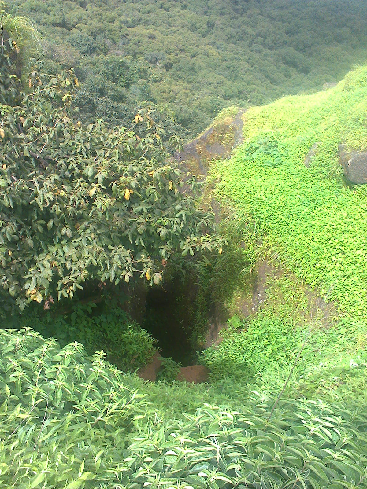
Rocky surface of this highest point has kavechi (Geru) vihir(well). Not a single structure is left on fort.
Above images taken from maps.google.in
Some of the trek photos:
How to reach
You need to first reach Wai. Wai is situated on the route to Mahabaleshwar.
Pune to Wai distance is 92Km via Bangalore highway. Base village Tupewadi is 32 Km from Wai.
You need to catch bus going towards Vasole via Jambhali road. This route is utterly scenic during monsoons. Enroute you can see Pandavgad, Kenjalgad and Raireshwar plateau.
It will be good if you have private vehicle as frequency of the buses is very poor.
Bike route will be:
Pune-Shirval-Khambatki ghat-Wai(You need to take right turn from the highway)-Follow Menwli road from the Wai city-after Wadoli take left turn though a small bridge on Dhom dam backwater-Washivali-Vasole and finally to Tupewadi.
Trek route to fort is well trodden initially. As you gradually start ascending towards col between a hill and Kamlgad fort, many cattle route emerges out. It is advisable to confirm your directions with local people or shephards. One key is never try to take traverse which goes on descending. Always follow the ascending direction. Once you reach the col, take left turn and follow the Kamalgad fort route.

Once you reach on fort , you can see temple of Gorakshnath.Follow the route left side route. After walking 10 minutes you will reach to small plateau where a shepahard lives with family. You can ask about the route to highest point of fort.
Rocky surface of this highest point has kavechi (Geru) vihir(well). Not a single structure is left on fort.
Above images taken from maps.google.in
Some of the trek photos:
 |
| Pandavgad fort |
 |
| School @ Tupewadi |
 |
| Dhom dam wall |
 |
| Col between Kamalgad and a hill |
 |
| hut of a shepherd on fort |
 |
| entrance to fort |
 |
| Kavechi vihir @ highest point of fort |
 |
| @ Top of fort |
 |
| Kenjalgad |


thanks! short n useful info
ReplyDeleteThank you, is there any local contact , pls share
ReplyDelete